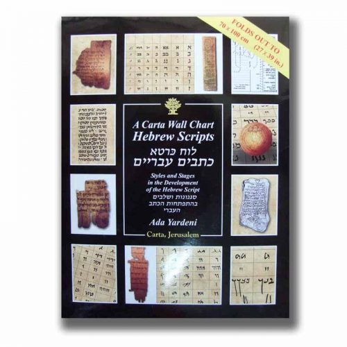
A set of 12 large, color maps covering the whole Bible epoch..
Illustrated Wall Maps of the Bible – Map
$53.00
Out of stock
Out of stock
Description
A set of 12 large, color maps covering the whole Bible epoch. Specially designed as a teacher’s aid, ideal for use in school, Sunday school, Bible class, Bible college or seminary; large and clearly presented. Suitable for adults or children. Adds fresh meaning to familiar Bible stories and helps in teaching new material.
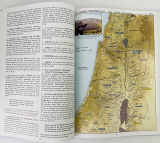
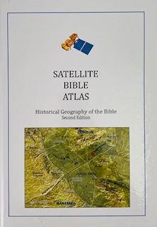
Set includes paperback Bible atlas of 30 full-color maps and city plans providing a comprehensive background for Bible studies that combines information about the commerce of the Ancient Near East, the wanderings of ancient peoples, major travel routes and the rise of Christianity. Also includes a chronological table and a complete index of place names.
Dimensions: 70 X 100 cm; 28 X 40 inches
Additional information
| Weight | 1.5 kg |
|---|---|
| Dimensions | 100 × 70 cm |


